True 1080p, frame by frame
The export never records your screen. Each frame is drawn at full resolution and encoded with WebCodecs, so routes, type and terrain stay sharp.


Cinematic travel films
Type two places. MapMyFlight flies the route for you, with a real great-circle path, a chase camera over 3D terrain and a clean finish. You get a 1080p film, rendered right in your browser.
Made with MapMyFlight
That whole scene came from two place names and one click.
Scroll to fly
How it works
Type any two places on Earth. We find them and draw the true great-circle path between them, the way aircraft actually fly.
Pick a cartographic world, tune the route and aircraft colours, and decide how long the flight scene should breathe.
Every frame is rendered at full 1080p, encoded on your own device, and saved as an MP4 ready to post.
The cut
Every film follows the same carefully paced edit. The camera never cuts. It eases from one beat to the next, so a 12.2-second clip plays like a title sequence.
A wide establishing shot that slowly pushes toward the route.
The camera descends onto the origin as the runway lights pulse.
A chase over 3D terrain that cranes up at cruise and swings around the aircraft.
It pushes in for touchdown at the destination.
Pull back to reveal the whole journey, drawn in gold.
Every screen
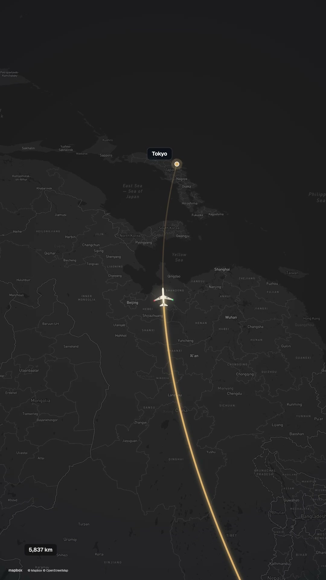
16:9 for YouTube, decks and the big screen. 9:16 for Reels, Shorts and TikTok. The vertical cut isn't a crop: the camera recomposes the whole flight for a tall frame.
Try both in the studio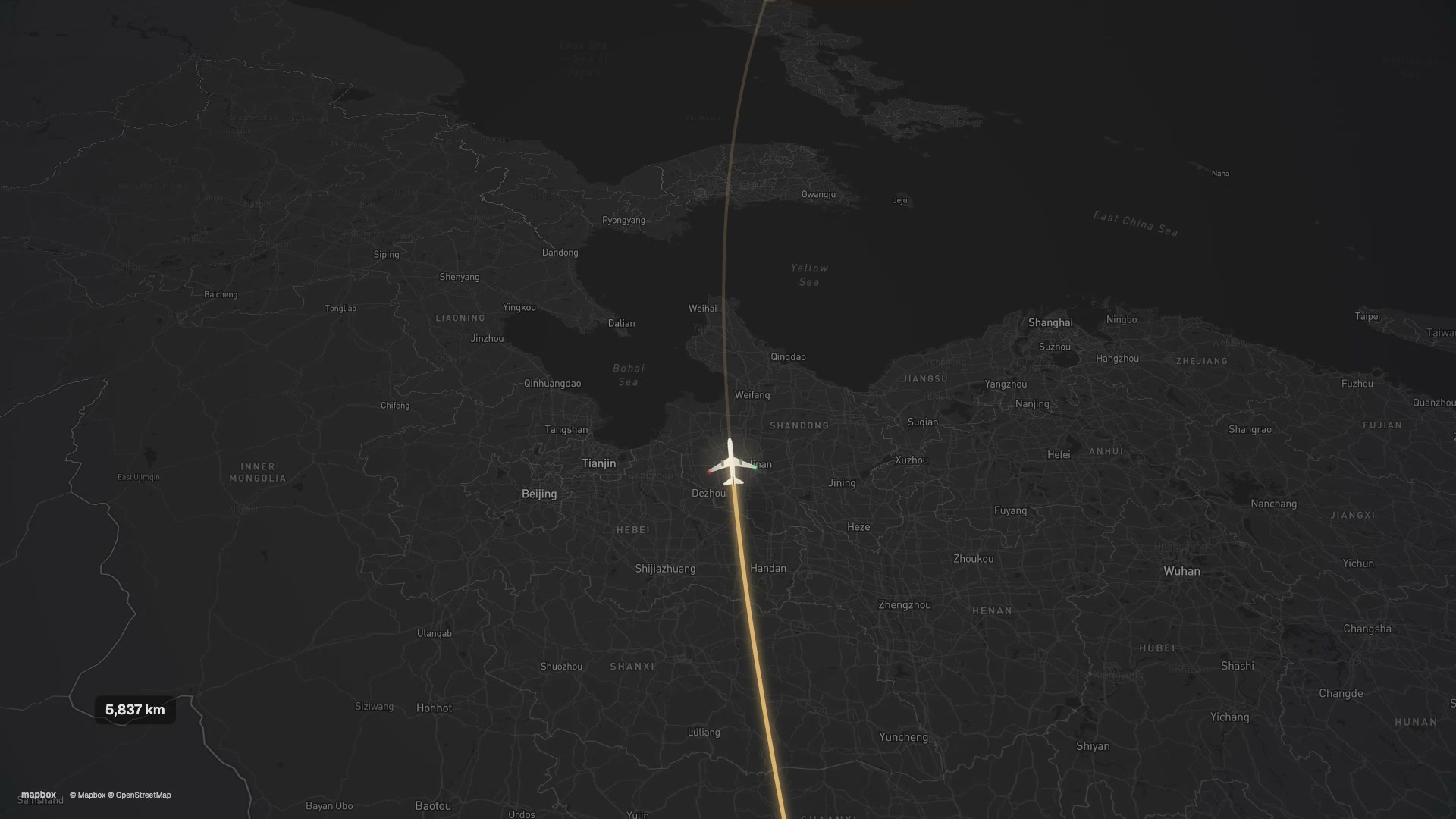
Crafted details
The export never records your screen. Each frame is drawn at full resolution and encoded with WebCodecs, so routes, type and terrain stay sharp.
Rendering happens on your machine. No uploads, no render queue, no account.
Great-circle arcs over 3D terrain, with an aircraft that banks into the curve.
Push-ins, a chase, a crane at cruise and a final reveal, in one continuous move.
Midnight Atlas or Ivory Journal, then your own route, aircraft and accent colours.
Questions
No. Open the studio, type two places and start directing. There is nothing to sign up for.
Only the place names you type are sent to Mapbox so we can find their coordinates. The film itself is rendered and encoded in your browser and never leaves your device.
MP4 (H.264) in browsers with WebCodecs support, such as recent Chrome and Edge. Elsewhere the studio switches to WebM automatically.
About 12 seconds by default. You can stretch or tighten the flight scene between 3.5 and 9 seconds.
Yes. Switch to 9:16 and the camera recomposes the whole flight for a portrait frame.
Map data comes from Mapbox and OpenStreetMap, whose terms require visible attribution. We keep it small.